

Key Takeaways
- The Pacific Coast Highway spans roughly 655 miles through California, with dramatically different character in each segment.
- Driving the full route typically takes five to seven days to experience meaningfully without rushing.
- Seasonal road closures, especially around Big Sur, can redirect your route — always verify conditions before departure.
- Several undervisited stops between major cities reward travelers willing to stray from the obvious.
- Northbound driving puts the ocean on your left; southbound keeps stunning views closer to your window.
Understanding the Full Route
California's Highway 1 — widely called the Pacific Coast Highway, or PCH — is one of the most celebrated drives in the United States. Running from the Oregon border near Crescent City south to Dana Point (often extended informally to San Diego via US-101), the route delivers an ever-changing canvas of sea stacks, redwood groves, beach towns, and working harbors.
Most drivers tackle it as a point-to-point journey of five to seven days, though a two-week version allows genuine exploration. The highway is technically a state route, not a single federally designated road, which means sections occasionally merge with US-101 inland before returning to the coast. Knowing where those transitions happen prevents confusion on the road.
~655 mi
Total length of California's Highway 1
The California Department of Transportation designates Highway 1 at approximately 655 miles from end to end.
5–7 days
Recommended minimum driving time
Travel writers and state tourism resources consistently suggest at least five days to experience the route without rushing key segments.
29
State parks accessible along or near the route
California State Parks lists nearly three dozen parks with frontage on or immediate access from Highway 1.
Southbound travel is generally recommended for first-timers: the ocean sits on your passenger side, making scenic pull-outs easier and safer to access without crossing traffic.
Segment 1: The Lost Coast to Mendocino
North of San Francisco, Highway 1 passes through some of California's least-visited coastal terrain. The aptly named Lost Coast — a rugged stretch between Eureka and Fort Bragg where the highway retreats inland because cliffs made road-building impossible — is worth a dedicated side detour for hikers, but most road-trippers experience this region via the Mendocino coast.
Mendocino town itself is an architectural time capsule: Victorian storefronts perched above dramatic headlands. The Mendocino Headlands State Park walking trail around the bluff is free and takes under an hour, yet most visitors spend their time on Main Street instead.
Fort Bragg, just a few miles north, offers the Glass Beach shoreline — an area where old glass fragments tumbled by the surf have become smooth sea glass. Access is free and the walk is easy.
In Mendocino, book lodging at least two months out for summer weekends — the town has limited rooms and demand consistently exceeds supply.
Mendocino's small size and high desirability as a getaway from the Bay Area means last-minute accommodation is genuinely difficult to find at peak times.
Set a hard stop time each afternoon rather than a mileage target; the temptation to push through one more scenic point leads to arriving at campsites or towns after dark on unfamiliar mountain roads.
Highway 1 has limited lighting and significant curves, making night driving slower and more stressful than most travelers anticipate when planning in daylight.
Segment 2: San Francisco to Big Sur
Crossing the Golden Gate Bridge southbound opens up Marin's dramatic headlands before Highway 1 swings inland briefly, then rejoins the coast past Half Moon Bay. This stretch is underestimated. Pescadero, a small farming town just east of the highway, has an artichoke farm stand and a cheese shop that are genuine local institutions — not tourist traps.
Further south, the wide beach at Año Nuevo State Park hosts one of the largest mainland elephant seal rookeries in the world. Seasonal guided tours (check availability and reservation requirements directly with California State Parks) are a legitimate wildlife experience unlike anything else on the route.
“Point Lobos is the greatest meeting of land and water in the world. The reserve is a place of exceptional scenic beauty and ecological richness that demands slow attention rather than a quick pass-through.”
— California State Parks interpretive literature, Official natural reserve documentation
As you approach Monterey, the highway edges through Pacific Grove before reaching Carmel-by-the-Sea. Carmel's Point Lobos State Natural Reserve — sometimes called the greatest meeting of land and sea — is worth a half-day stop. Entry fees apply; arrive early on weekends as capacity is limited.
Segment 3: Big Sur to Santa Barbara
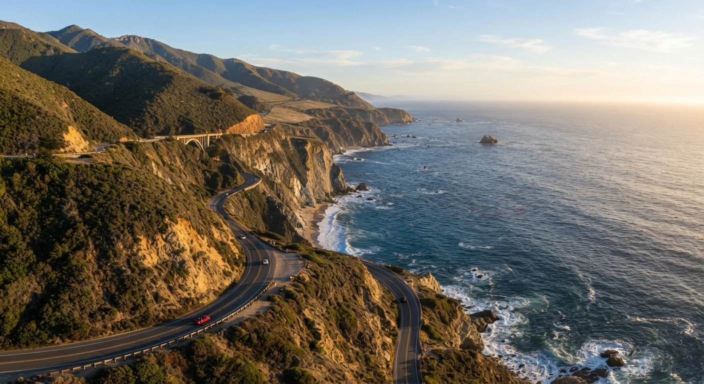
This is the segment most people picture when they imagine PCH: cliff-edge highway, turquoise water crashing against rocks far below, and almost no cell service. Big Sur is not a town but a region spanning roughly 90 miles of Monterey County coast. Drive it slowly.
Bixby Creek Bridge is the most-photographed structure on the route. Pull into the northern overlook lot (it fills quickly after 9 a.m.) rather than stopping on the narrow highway shoulder. Pfeiffer Big Sur State Park has a genuine redwood grove just two miles from the ocean — a combination found almost nowhere else on Earth.
Big Sur Closures Are Real and Common
Portions of Highway 1 through Big Sur have closed for months at a time due to landslides. If a closure is in effect, detour routes add significant time inland. Verify current status with Caltrans before building Big Sur into a tight itinerary. Flexibility in your schedule is not optional on this route — it's essential.
South of Big Sur, the road flattens past San Simeon, where Hearst Castle sits on a hilltop above the highway. Tours require advance reservations through California State Parks. Just north of the castle, a free elephant seal viewing area at Piedras Blancas draws large crowds in winter pupping season (roughly December through February) but is accessible and worthwhile year-round.
Morro Rock and Morro Bay are an easy lunch stop before the highway climbs into wine country around Pismo Beach and onward to Santa Barbara.
Segment 4: Santa Barbara to San Diego
South of Santa Barbara, Highway 1 merges with US-101 for much of the route, which surprises some first-timers. The road becomes more suburban as it approaches Los Angeles, but several stops distinguish this segment.
Ventura is often bypassed, yet its historic downtown and the Channel Islands National Park visitor center (where you can learn about five largely undeveloped islands offshore) make it worth an hour. Malibu's Point Dume State Beach and El Matador State Beach are dramatically beautiful — sea caves, tide pools, and far fewer crowds than Santa Monica despite being just miles away.
Through LA, the highway becomes surface streets. Newport Beach, Laguna Beach, and San Clemente offer the final authentic coastal-town character before the route winds into San Diego County.
Before any long drive, take time to complete a vehicle check. Our pre-trip vehicle safety checklist covers the key items that can prevent breakdowns on remote stretches like Big Sur.
Planning Tips Before You Go
Slide-related closures have temporarily shut portions of Big Sur multiple times over the past decade. Always check the California Department of Transportation (Caltrans) QuickMap tool and call 511 for current road conditions before departure — do not rely on conditions reported in travel blogs written months earlier.
Check Road Conditions Every Morning
Even mid-trip, check Caltrans 511 or the QuickMap tool each morning before setting out. Conditions on coastal cliffs can change overnight due to slides, high surf, or storm damage. A five-minute check can save hours of backtracking.
Campsite reservations along the route (especially in Big Sur and state beaches) book out months in advance during summer. The California State Parks reservation system opens windows 180 days ahead; for peak dates, mark your calendar.
Travelers bringing children will find the route manageable with the right structure. Our family road trip planning guide offers strategies for breaking up long driving days and keeping energy levels high across multiple days on the road.
Cell coverage disappears for extended stretches between Big Sur and San Simeon. Download offline maps, carry a paper backup, and fill your gas tank whenever you see a station in this corridor — services are sparse and prices reflect the remoteness.
Travel conditions, park fees, reservation policies, and road access can change. Always verify entry requirements, closures, and local regulations with official sources such as California State Parks and Caltrans before your trip.